Pocket Surveyor Two
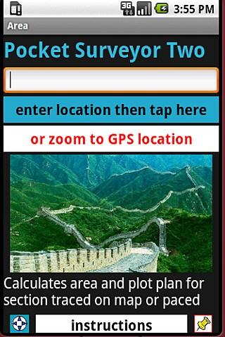
The app calculates area and perimeter, and creates a rough metes and bounds description of the border edges for irregular shape properties, traced on a map or paced. This is not a total substitute for a proper survey because the results are only approximate.
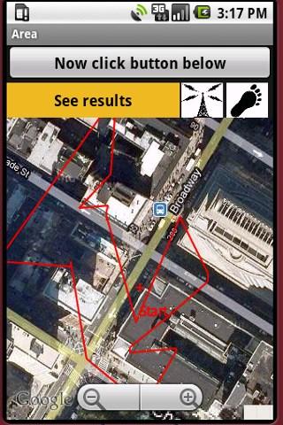
The output shows angle in (decimal and minutes/seconds) degrees from north and the length, for each edge. Can be used in the field using GPS locations to tag corners, or used remotely to quickly construct an approximate plot description without visiting the site.
A new feature recently added to the app is activated by clicking the yellow question mark icon. This draws a temporary line segment to your current location from the last tagged corner. This line is not added as an adge unless you press the Tag button. This new feature can be used to find a corner based on a survey plan, or else to check which side of a property line with a known bearing, that you happen to be standing on.
The latest version has two more new features. The thumbtack icon on the lower right of the landing page leads to a page where a short comment can be entered. This message is then sent automatically to a preset home email address. The email shows the exact coordinates where the note was taken and also a link to Google Maps where this location is tagged by a green icon.
Before the GeoNote feature will function, you must preset your recipient email. To do so. follow the button from the landing page to a screen with an input box to enter your email. Click the middle button to save it, after you are sure you entered it correctly. You can then double-check that it is stored properly by clicking the lower button on the input page, above the Buchanan tartan image.
Setting your email need only be done once, not every time you use the app. The email can be changed later, if desired. The installation of future updates may erase the remembered email address, so it may have to be re-entered at that later date.
Setting the recipient email is also necessary for the other new feature to work. On the map page, there is now a thumbtack icon at the upper left. If this is clicked and turns blue, then whenever a corner is tagged, the coordinates of that corning and the bearing and length of the edge leading to it, are automatically sent to your home email. This facilitates the recording of field-tagged corners. This feature slows the operation of the program so should only be used if you want to keep a permanent copy.
App Specification
- App Name: Pocket Surveyor Two
- Rating: 5
- Apk: ian.com.areat
- Cost: US$20.00
- Developer: https://web.cs.dal.ca/~booth/areaPage.html